PLAN AND MANAGE YOUR PROJECT EFFICIENTLY
We apply geographic management systems to support your project planning, management, analysis, and more. We offer a full Urban Management Emergency Command System, GIS classification metadata, 2D and 3D GIS masterplans, and 3D GIS application in an intuitive Land Spatial Information Platform to help you operate at your best.
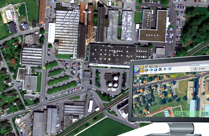
1. Urban Management Emergency Command System
The Urban Management Emergency Command System offers features ranging from precise 3D terrain sand table to system integration for land, planning, surveillance, and traffic applications.
Manage and extract key infrastructure data to inform platform allows you to infrastructure data to inform better decision-making.
2. GIS Classification Metadata
Utilize GIS tools and location-based information to generate and access metadata for land classification. This information gives you key insights into your data resources to help you optimize your land management efforts. .
Projects Our BIM application smart 3D models to plan, construct, and realize your urban planning projects
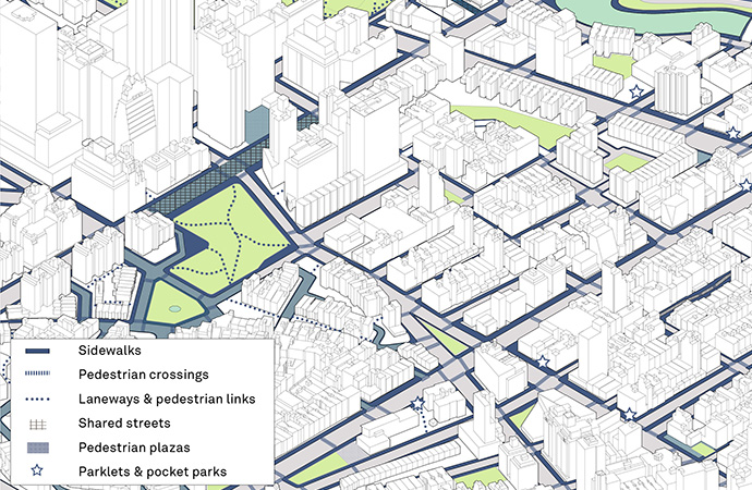
3. 2D/3D GIS Masterplans
Our 2D and 3D GIS masterplans are the best tools to support your land management activities. Use geographical data to build detailed geospatial models that offer an end-to-end solution for all your land management challenges.
This convenient platform helps you plan and manage infrastructure over a wide platform helps you plan over a wide range of projects.
4. 3D GIS Application in land spatial information platform
Utilize spatial data science with the 3D GIS application on our Land Spatial Information Platform to understand every aspect of your land management projects. Integrate everything from indoor and outdoor, underground, micro and macro data to generate precise models, plan effectively, and improve land management at every phase.