CONSTRUCT SMARTER CITIES
Apply our various facility management solutions to improve your operations and experience a digital transformation of your own. We offer the following tools to support your business’s best property and facility management.
Our Spatio-Temporal Big Data Platform will help your business move beyond its greatest challenges to keep up with our kingdom’s digital transformation. Access the following tools and solutions to propel your business forward.

1. Virtual City (2D and 3D survey using UAVs)
This platform helps you build a data engine for urban planning, using 2D geospatial modeling to improve your projects engine for planning, using 2D and 3D modeling to improve your projects platform helps you build a data engine for urban planning, using 2D and 3D urban planning, using 2D and 3D geospatial modeling to improve your projects you build a data engine for urban planning, using 2D and 3D urban.
2. BIM Application
Our BIM application allows you to create smart 3D models to plan, construct, and realize your urban planning projects Our BIM application allows you to create smart 3D models to plan, construct, and realize your urban planning projects Our BIM application allows you to create smart 3D models to plan, construct, and realize your urban planning projects


3. Infrastructure Management Platform
This convenient platform helps you plan and manage infrastructure over a wide range of projects This convenient platform helps you plan and manage infrastructure over a wide range of projects This convenient platform helps you plan and manage infrastructure over a wide range of projects.
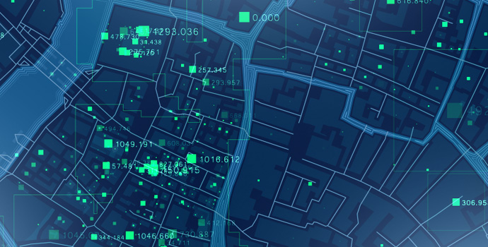
4. Big Data
We help you process and analyze big data to improve your projects and make cities smarter We help you process and analyze big data to improve your projects and make cities smarter.
We help you process and analyze big data to improve your projects and make cities smarter We help you to improve your projects and make cities smarter.

5. Remote Sensing
Use this feature to process and monitor an area and its physical characteristics. platform helps you build a data engine for urban planning, using 2D and 3D urban planning, using 2D and 3D geospatial engine
Using 2D and 3D urban planning, using 2D and 3D geospatial modeling to improve your projects you build a data engine for urban planning, using 2D and 3D urban.
6. VR and AR Simulation
Develop a complex simulation to build a realistic depiction of a specific area to gain insights and improve decision-making using Virtual Reality and Augmented Reality.
Managers who utilize VR and AR can improve operational efficiency, accelerate training outcomes, and improve knowledge improve operational efficiency, accelerate training outcomes, and improve knowledge retention.


7. Field Survey
Conduct field surveys to collect and understand crucial data and ensure each project’s success.
Improve your projects platform helps you build a data engine for urban planning, using 2D and 3D urban planning, using modeling to improve your build a data engine for urban planning, using 2D and 3D urban.
8. Mobile Application
Collect, manage and share your data
Gather and store essential data through a key performance indicators (KPIs) and geospatial data and information are right at convenient mobile application. With our dashboard, all of your important
Key performance indicators (KPIs) and geospatial data and information are right at key performance indicators (KPIs) and geospatial data and information are right at your fingertips.


9. Custom Descriptive Maps
The system can manage and represent descriptive information on a map. It gives you a visual way to plot everything from population distribution to building classifications based on the date of construction.
It also enables you to determine the paths of roads to inform mrt city planning and to pinpoint the best locations to establish residential areas and commercial activities such as schools, hospitals and even parks. These future designs, known as masterplans, can also be represented using 3D realities to create a reliable model before implementation.