BETTER DISASTER MANAGEMENT
Our geospatial artificial intelligence solutions help you prepare for and minimize harm from natural disasters. Use a Disaster Map portal and Disaster Management System to devise a disaster prevention plan, operate at your best, and collect valuable data for the future.
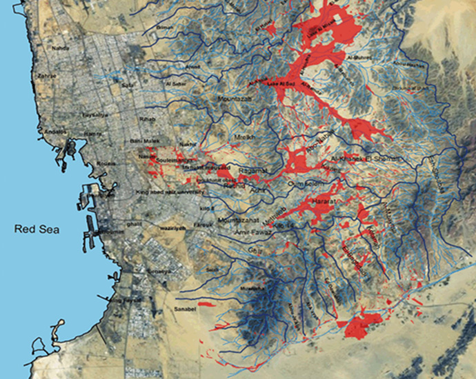
1. Disaster Map Portal
Build out your own Disaster Map portal using your specific geographic area and disaster prevention information. Integrate multiple websites, adjust parameters, and incorporate real data for a better disaster prevention strategy.
Manage and extract key infrastructure data to inform platform allows you to infrastructure data to inform better decision-making.
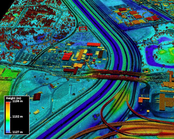
2. Disaster Management System
Utilize our Disaster Management System to protect resources, predict disaster information, prevent disasters, and optimize identification time.
Our system helps you build geospatial models and create a database of useful information so you can forecast, manage, and protect from natural disasters.
Management System to protect resources, predict disaster information, prevent disasters, and optimize identification time