MANAGE AND IMPROVE ECOSYSTEM CAPABILITIES
Our natural resource services are designed to help you acclimate to the current digital transformation. We offer a 2D and 3D natural resource information management platform as well as remote sensing technology to help you utilize big data and propel your business forward.
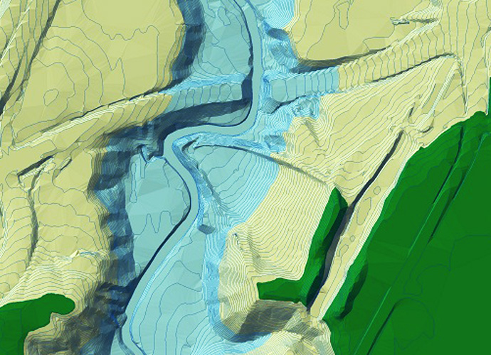
1. 2D/3D Platform
Our natural resource information management platform enables you to load and display 2D and 3D integrated data in precise geospatial models. Visualize, store, and manage large amounts of data with one convenient end-to-end solution.
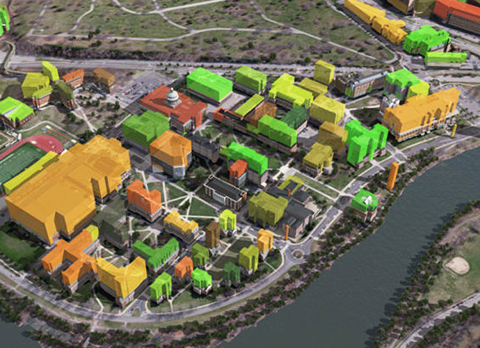
Our Urban System platform combines BIM and GIS technologies to help you tap into big data. build 3D geospatial models, and see transportation systems come to life in a realistic virtual environment. Monitor in real time and maintain full control from a single platform.
2. Remote Sensing
Assess and monitor physical characteristics of land space and natural resources with our remote sensing technology. This tool helps you acquire essential insights digitally and leverage spatial data science to gain a deeper understanding of the specified area.
Remote sensing makes it possible to collect, classify and analyze data to protect natural resources and wild animals. Using two and three dimensional imaging with other sensors and computations, you can fully understand changes to the environment, including noise and air pollution, and even study coral reefs. With a combination of 2D and 3D imaging, satellite images and other sensors, along with the right mathematical formulas, it is possible to detect even the slightest changes in the environment.